Suedhemmern on the Mittelland Canal v 1.0

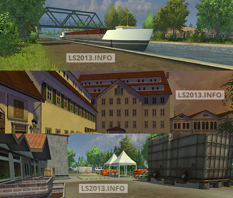
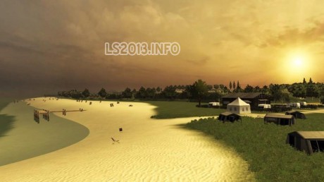
Here is a completely redesigned original map. Form the center of the Mittelland Canal with 5 bridges and a port and the main village Sudhemmern with its eastern neighbor village Hartum and the west village Hille . A major emphasis placed on the detailed design of the landscape and the individual
– Wool range Collectors
– Pigmast
– Water Mod 3 traffic lights to function
– Slurry and manure sales
– Lining layers
– Edeka Market Forest Hotel
– Sky industrial plant market
– Horse slaughterhouse
– The PDA and the PDA map symbols are adjusted
– The field sizes and field rates were calculated using the calculation program of dds Modding and adjusted
– There are 50 fields in different sizes ( 2 ha to 10 ha) and two large meadows for grass and hay
Authors: Fendtfan1, BobMaster 66, vanillaice83, Trixi, Diops33, GE-Mapping, Spider 100, Frank Wienberg, Marhu, Rauschebart, M-S Buschi, SLJ Agrar, The Agraama, LS Landtechnik, Himmi, Basti66, ddsModding, Askari, Frisco0177
DOWNLOAD 358 MB


